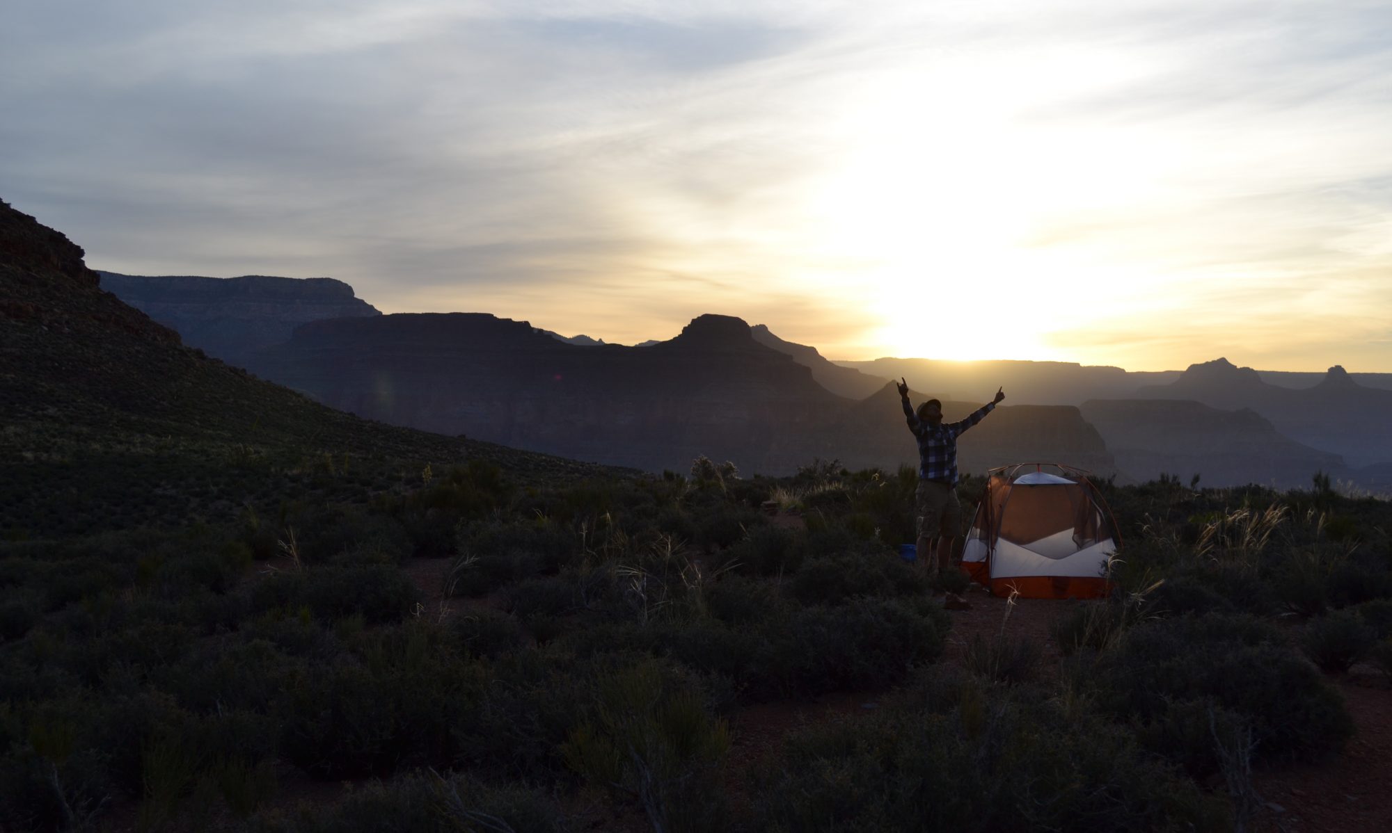
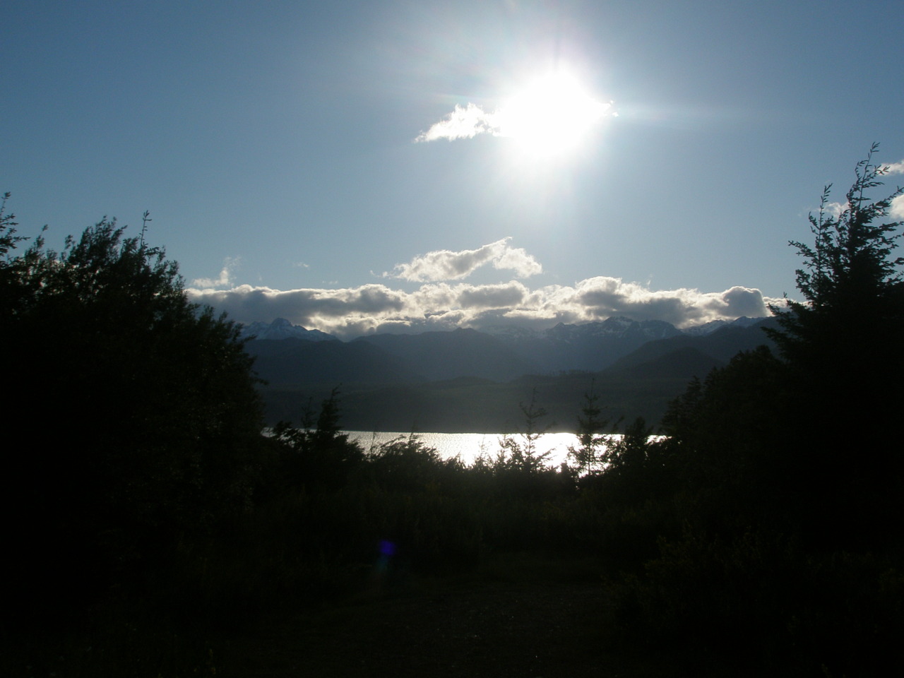
Skokomish River area, Washington 6/9/2011 – 6/16/2011 During my several days in the field, I had some time to think; mostly about nothing, but slightly about how I could possibly convey this research in understandable terms( as you will soon see, I ultimately failed). I toyed with a Lord of the Rings allegory for a very long time. My boss was the very wise leader Gandalf, who every now and then gets lost in Moria and has to sit and think of which way to go. I was Frodo, but without the value of a ring – so essentially I was small, couldn’t carry much equipment, didn’t cook, and would get tangled in Shelob’s webs of river channel branches and require assistance. Also, I would sporadically fall for usually no apparent reason. But I couldn’t quite characterize my other two coworkers under the headings of Gimli or Sam and I already sound nerdy enough just mentioning it here. For a while then I moved onto Mulan – specifically the first half of the “I’ll make a man out of you” song, where the soldiers are training for battle. While my learning curve was certainly just as high as Mulan’s, I have not yet encountered a moment where I am smart enough to retrieve a lodged arrow in a tall tree. This moment may also never come. But again this perspective was a little self-centered with little room for other characters. I wanted a detached, multi-spectral perspective of this experience and thus came up with this:
(warning: this part is highly boring lol jk sometimes I’m funny)
Fluvial geomorphology and its impact on the biological and sociological development of salmon populations and those who study them, respectively, in order to improve climate-change impact models.
Jaime*, Chris*, Paul*, and Rachael**
*Boise State Department of Geosciences
**College of William and Mary Department of Mysteries
Introduction
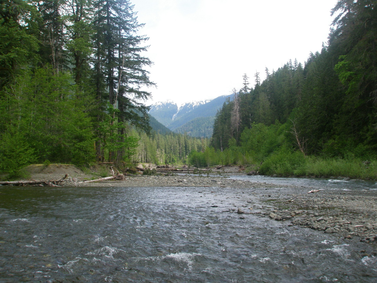
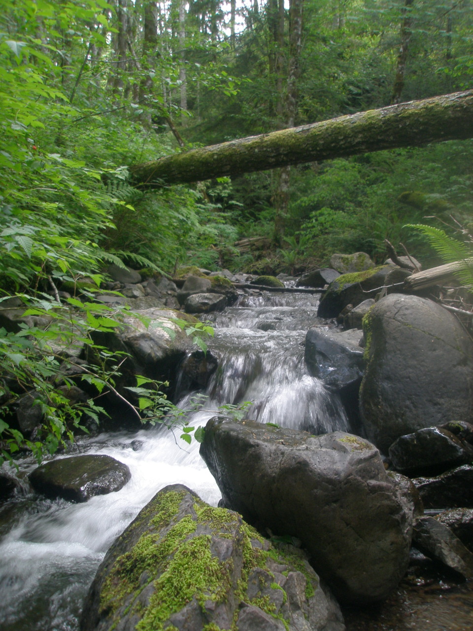
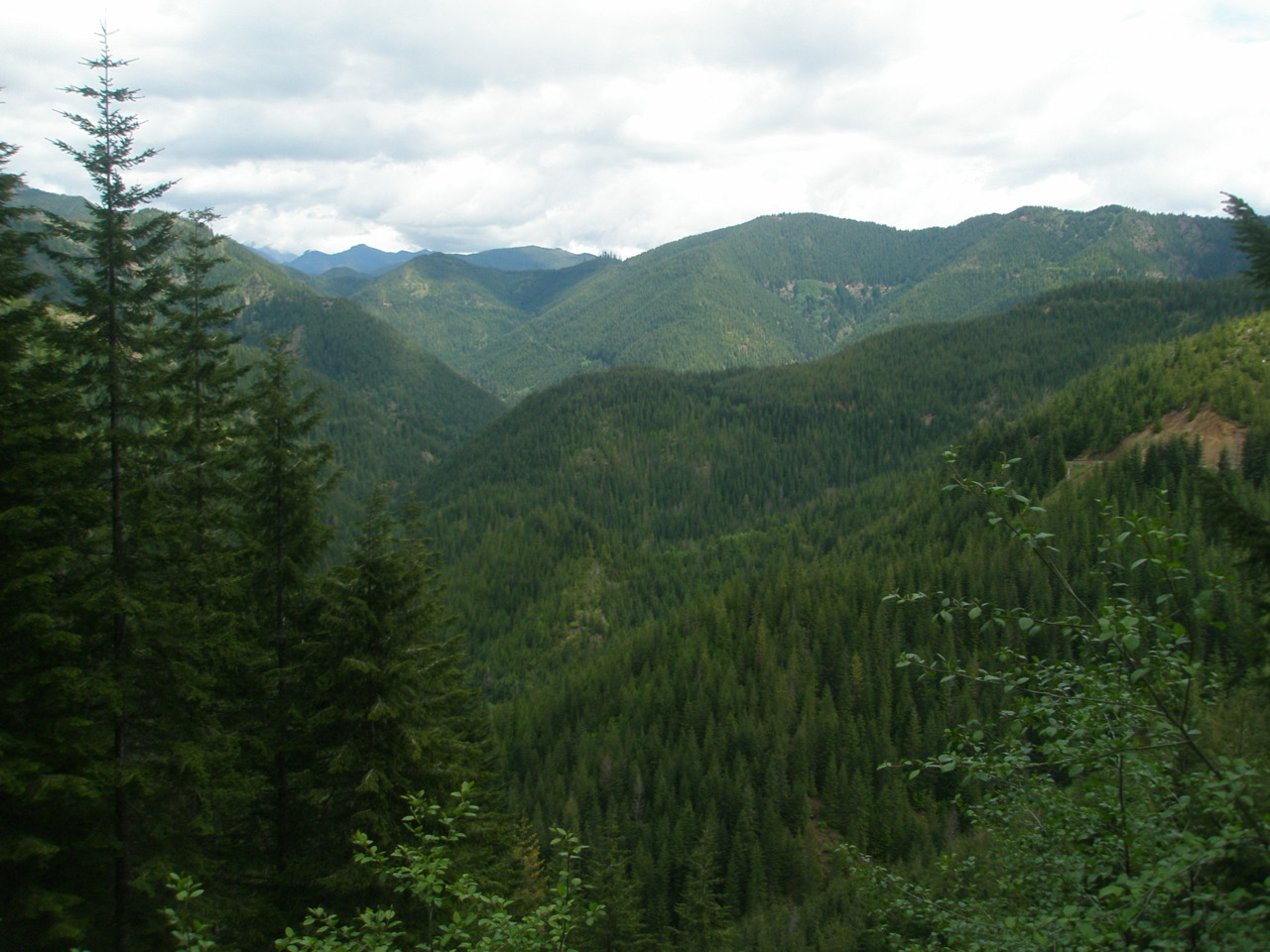
To limit the study to variables of lithology and slope, but to still create a comprehensive examination, 120 streams were chosen from the northwest area of Washington State, mostly within Olympic National Forest. Here, streams are classified as either rain dominated (much of the forest is classified as a temperate rain forest), or snow-melt dominated (the rocky mountains are frigid). The number of prospective study areas is perhaps a bit ambitious, but this data will provide a good sampling across four different litholgies and another four stream types. Though the lithology types have currently escaped my mind (and really who cares about rocks anyway – oh wait, geologists), the stream types are limited to a small range of fluvial definitions (leaving out colluvial and bedrock) including cascade, step-pool, plane-bed, and pool riffle (see Montgomery’s stream classification). A further objective is to use this data as future aid in protecting salmon population and this section of Washington has already been targeted for numerous salmon research and habitat restoration. Salmon spawning grounds seem to require lower slopes, larger grain size, and large woody debris (LWDs!) – all of which help form pools and protective areas for larvae. Current climate change models predict that almost all of the glacial areas in this region will disappear by 2050, but it is still relatively unclear what effect this may have on salmon populations.
This project is conceived and led by a highly qualified post-doctoral student in fluvial geomorphology, Jaime Goode. Incredibly intelligent and driven, Jaime also holds a long outdoors career, including attending a skiing boarding school, serving as a raft guide in Maine, and currently kayaking white water every moment she gets. Jaime leads a team of three highly (hehe) qualified undergraduate researchers. Chris, a slightly more adult college student, boasts of numerous hunting trips, being shot twice, having his fingers crushed by mining equipment at his old job, being a bartender and security guard, and the trials of being part of mountain search and rescue. Recently married to his high school girlfriend of nine years, Chris boasts of her too. Paul, a hydrology major, is much more quiet. He broke his collar bone twice mountain biking and can pull out some funny youtube videos. One time in 7th grade he didn’t pay for his lunch and he got suspended; another time the car he was in flipped over, but he was ok. Rachael, has no idea how on earth she belongs here, but is enjoying every minute.
Methods
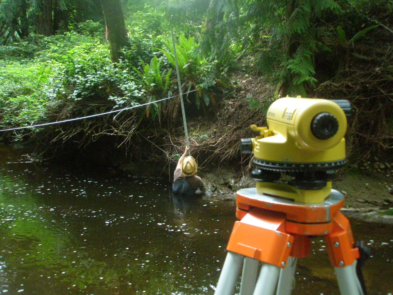
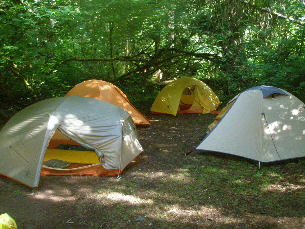
Numerous tools will be employed to quantify these results. The simple act of field research requires many human oriented pieces including tents, sleeping bags, cookware, etc. As many of these areas are designated temperate rainforest, waterproof gear and clothing is highly recommended. Though the definition of summer seems a little twisted here, many are comfortable in shorts and a t-shirt while others (caughMEcaugh) require three or four layers of clothing, a hat, and gloves. For field word, chest-high waders are practically lived in, spurring many locals to critique our fishing technique (or lack of even trying). As the feet of waders are simply flimsy rubber socks, neoprene socks and sturdy boots are also required. For the research itself, we use autolevels, radios, GPS, pencils, water-proof notebooks, stadia rods, 100, 50, and 30m tape measurers, cameras, rock size categorizers (the technical term for them, of course), and probably some other stuff.
Upon arrival at a potential site we march upstream several meters, discussing what type of stream this could be. Bankfull width is defined as the length across a stream channel, with the edges based on the one-to-two year flood level. A good sampling of a region is defined as 10-20 bankfull widths and cross section samples are placed at about every two bankfull widths. Cross sections are done with surveying equipment. A tripod keeps an eye-level autolevel stationary and level (can I add level one more time?). A stadia rod is essentially a pole with a meter stick on it. One person reads the number through the autolevel while another walks along the tape of the cross section, reading out numbers. Slope is done in a similar fashion except perpendicular to the cross section, heading for downstream and covering most of the sample. Pictures at each cross section are also taken for better understanding of the area once all the data has been collected. 100 rock samples are taken at each site to obtain an average grain size measurement. A metal bracket contains numerous square-shaped holes, sized on a logarithmic scale to quickly group rocks into various categories, eliminating the problems of just how to measure the size of a rock (aka they’re not square and therefore not easy to measure). A GPS point is also taken.
To keep interest, partners and jobs are routinely rotated. The impact of this on accuracy and speed has not yet been determined, and is assumed/hoped to be minimal.
Data
Much of the data has yet to be collected, so plots and figures will be reserved for future publications.
However, after just eight days we can mark that smell seems to increase with time.
Discussion:
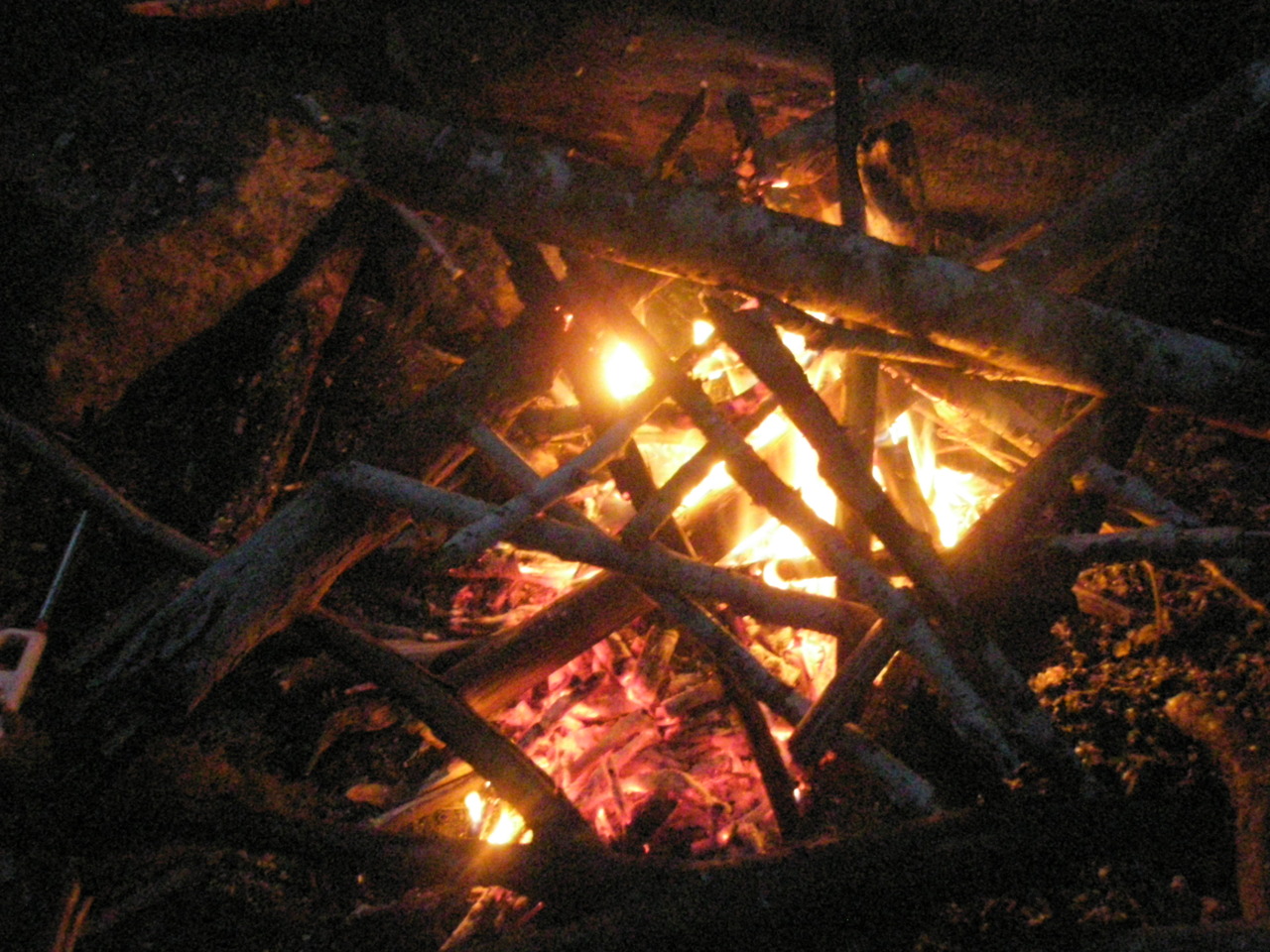
The study requires another 32 days for completion and at that time (or maybe way after), more patterns may become apparent. The potential for this research is wide-spread and hopefully we won’t screw it up. A few areas of future study have been identified: effects of snickers bars on morale, most efficient way to build a fire, the impact of sharp things on wader durability, the proper technique for toasting a marshmallow, a psychoanalysis on dreaming of hurtling bright orange road barrier gates, and if tarpology could indeed ever make it as a word or professional skill.